 vesseltracker.com
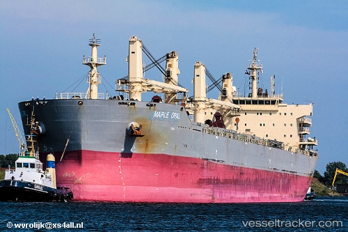
Vessel '636020216' IMO: 9585314, MMSI: 636020216
UTC, 38.95670, 118.06792, course: 185, speed: 0
UTC, 38.95511, 118.06958, course: 262, speed: 0
2026-01-30 20:30:07 UTC, 38.95387, 118.06951, course: 302, speed: 0
Live AIS position:
UTC. Near Taku Bar),
updated 2026-01-30 20:30:07 UTC.
Find the position of the vessel '636020216' on the map. The latter are known coordinates and path.
marine traffic ship tracker show on live map
The current position of vessel '636020216' is 38.95387 lat / 118.06951 lng. Updated: 2026-01-30 20:30:07 UTCDetails:
Last coordinates of the vessel:
UTC, 38.95659, 118.06618, course: 146, speed: 0UTC, 38.95670, 118.06792, course: 185, speed: 0
UTC, 38.95511, 118.06958, course: 262, speed: 0
2026-01-30 20:30:07 UTC, 38.95387, 118.06951, course: 302, speed: 0